
Main Loop @ Morris Bridge Park
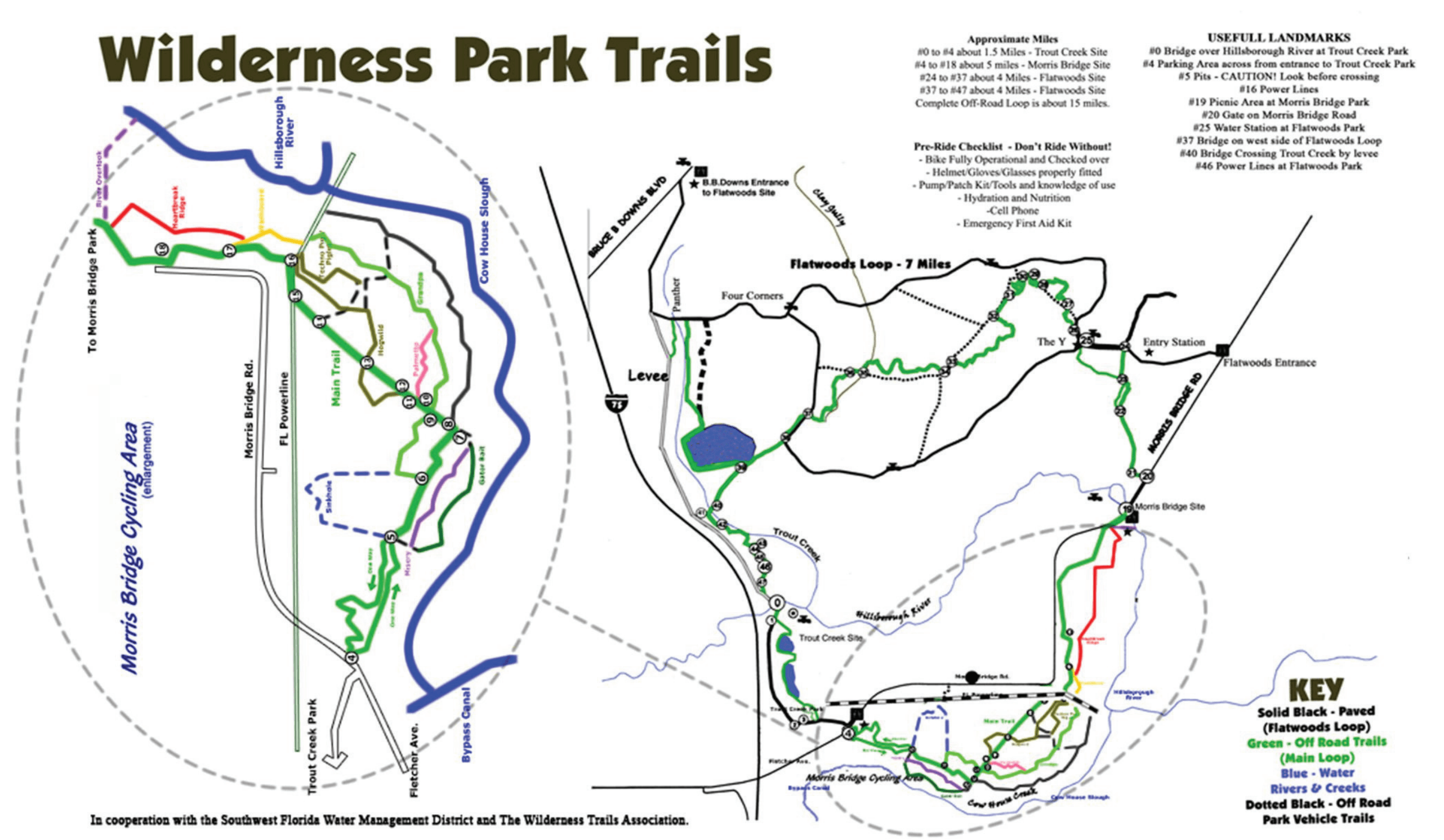
As July 3rd arrived (Friday) Alyson and I found ourselves both off of work that day so decided to go on a hike. We had been to Morris Bridge Park a few times, but always doing one of the smaller loops to look at sinkholes. This time we decided to go on the main loop and try and do the full ~15 mile loop.
The main loop appeared to be a long trail that crossed a major road and connected with another park (Flatwoods Park) before coming around in a circle back to the original Morris Bridge Park. So we parked at our usual area, which was marker #4 of the 47 markers that make up the main loop.
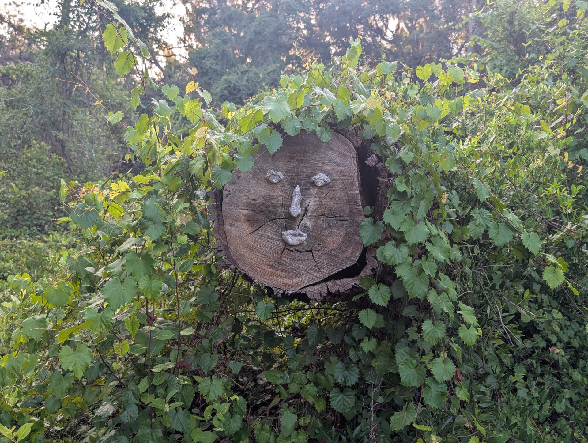
The start of the trail had an interesting collapsed tree that had some nice human attributed design on it. Each time we start at this location it feels like its more designed for bikers as we rarely see people on foot - only folks zooming by biking. We pushed on staying true to the "Main loop" which meant we had to skip our favorite sinkhole trail and other more pedestrian focused trails.
This is a true wilderness hike with just pure nature and a occasional bridge or trail marker. This is in stark difference to other parks which have a bit more of an elevated experience of boardwalks, large bridges and towers. Occasionally we'd see a sign for "bridge ahead" and get excited to run into something like pictured below.
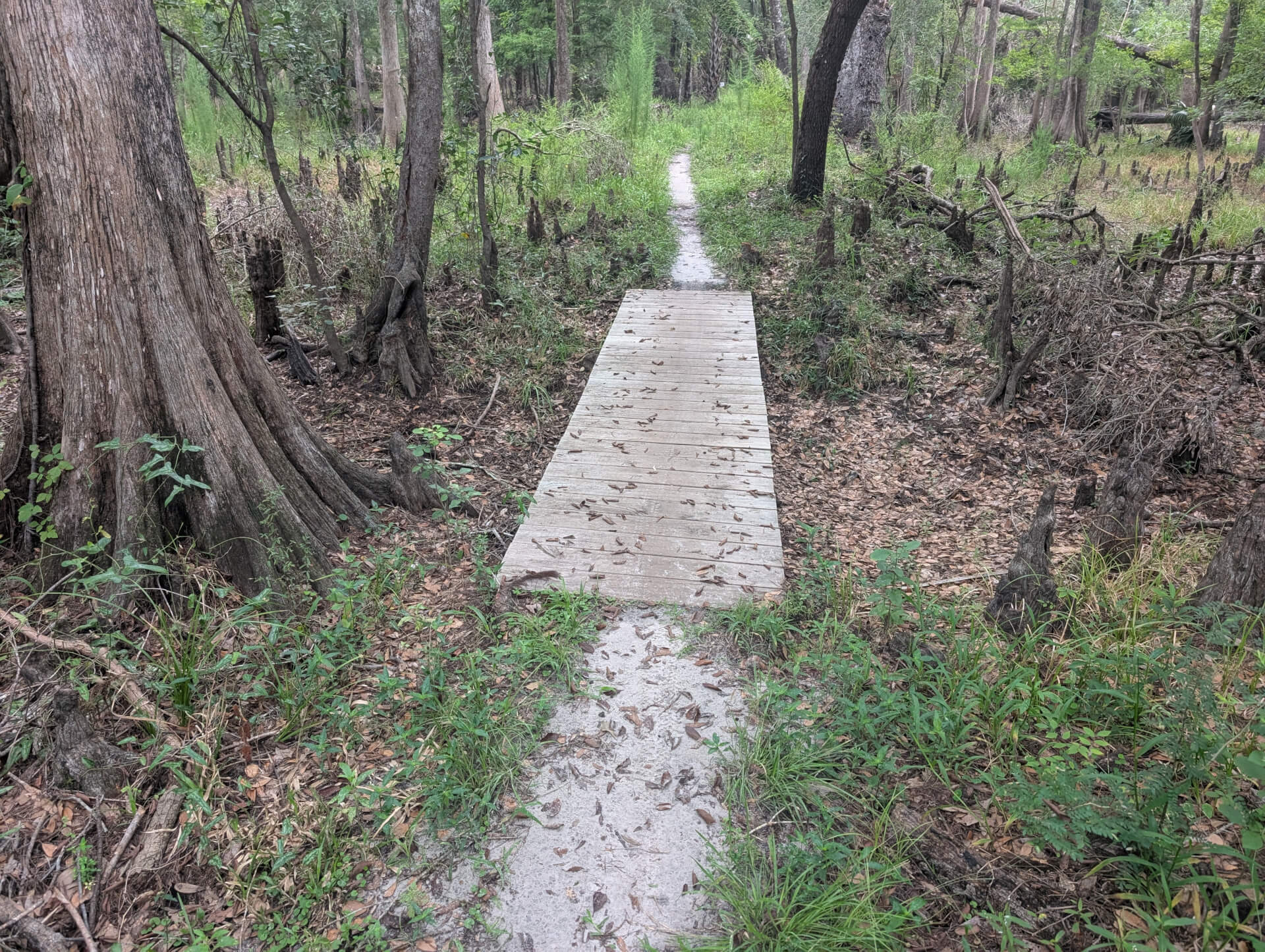
Now of course when you are biking at quick speeds you'd probably want to know a bridge is arriving in case the conditions would put that bridge in a bit of danger. For a couple of walkers it was always funny to see a warning for something like this little wooden bridge over some dried out marsh.
At some point we passed the furthest we'd ever been in the park and now walking in new territory trying to follow AllTrails & the markers along the trail. Nothing wanted to work right on my AllTrails app as every time I put my phone away my GPS collection ended - so I would "jump" around on the map. Android has gotten so sensitive with permissions I couldn't even figure out how to grant it background GPS permission. So instead any time we arrived at multiple paths or was confused - we'd open All Trails and confirm there.
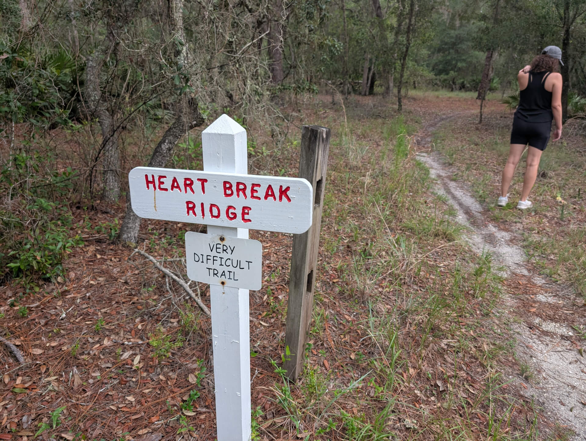
We came upon a trail marked very difficult and figured why not as it appeared to be in same direction we were going. The difficulty was the heavy tree growth amongst the trail which probably wasn't too friendly to bikes. For humans walking though it was no match and an easy traveling.
Around this point we had hit 2 miles walking and were approaching a secondary entrance / parking lot for the same park. This entrance for sure seemed more focused for walkers as the entrance housed the start point for many of the smaller 1-2 mile trail heads. As we hit that park we were roughly around 3 miles walked and had a choice to make - turn around and hit ~6 miles or push forward and do ~15 miles.
After a bit of discussion - we decided to go forward for 15 miles, but take a shortcut if we encountered one.
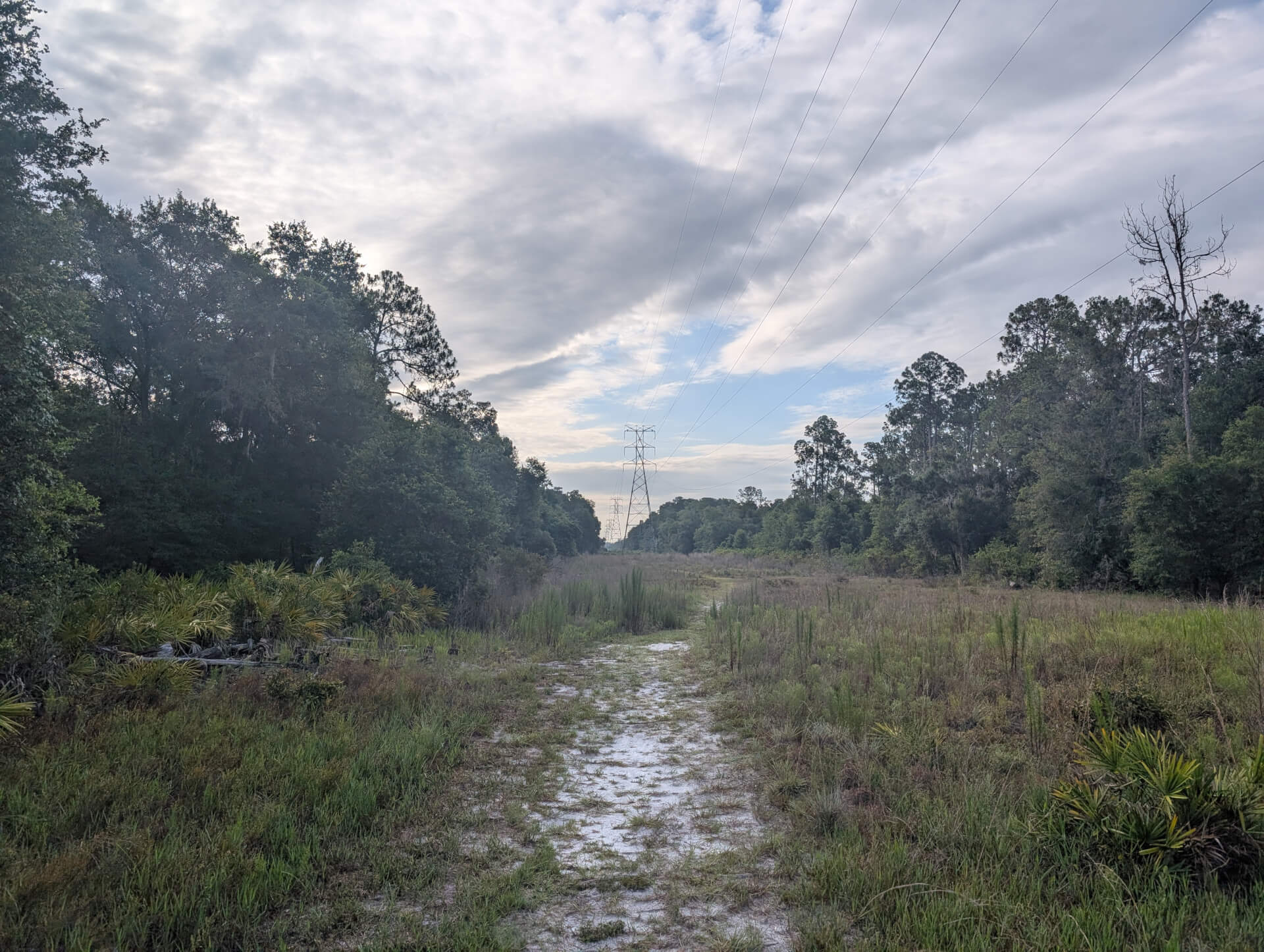
We got to a certain part of the trail where we crossed under some large power lines and it was quite an interesting sight. As far as I could see in either direction was cleared grass and powerlines - the power companies must keep a rough degree of clearing to prevent overgrowth around the lines.
At this point the trail got a bit sketchy when we noticed we had to cross onto the road, which had no sidewalk to proceed to the next part of the trail.
Sure enough as we stepped onto the bike lane on the road a flurry of cars went speeding by us. For a large majority of this 4/10 of a mile we had a road barricade forcing us on the tiny shoulder of the road with cars going over 40mph. As we approached the trail marker it was just a little nook on the road.
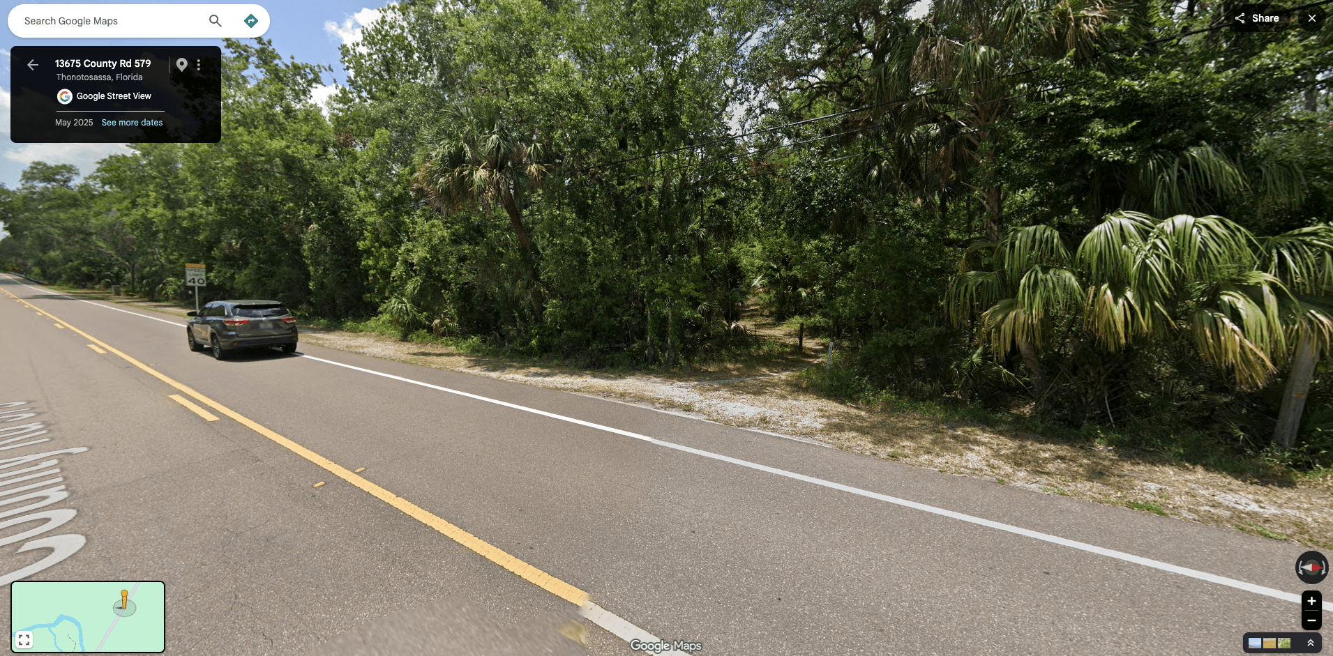
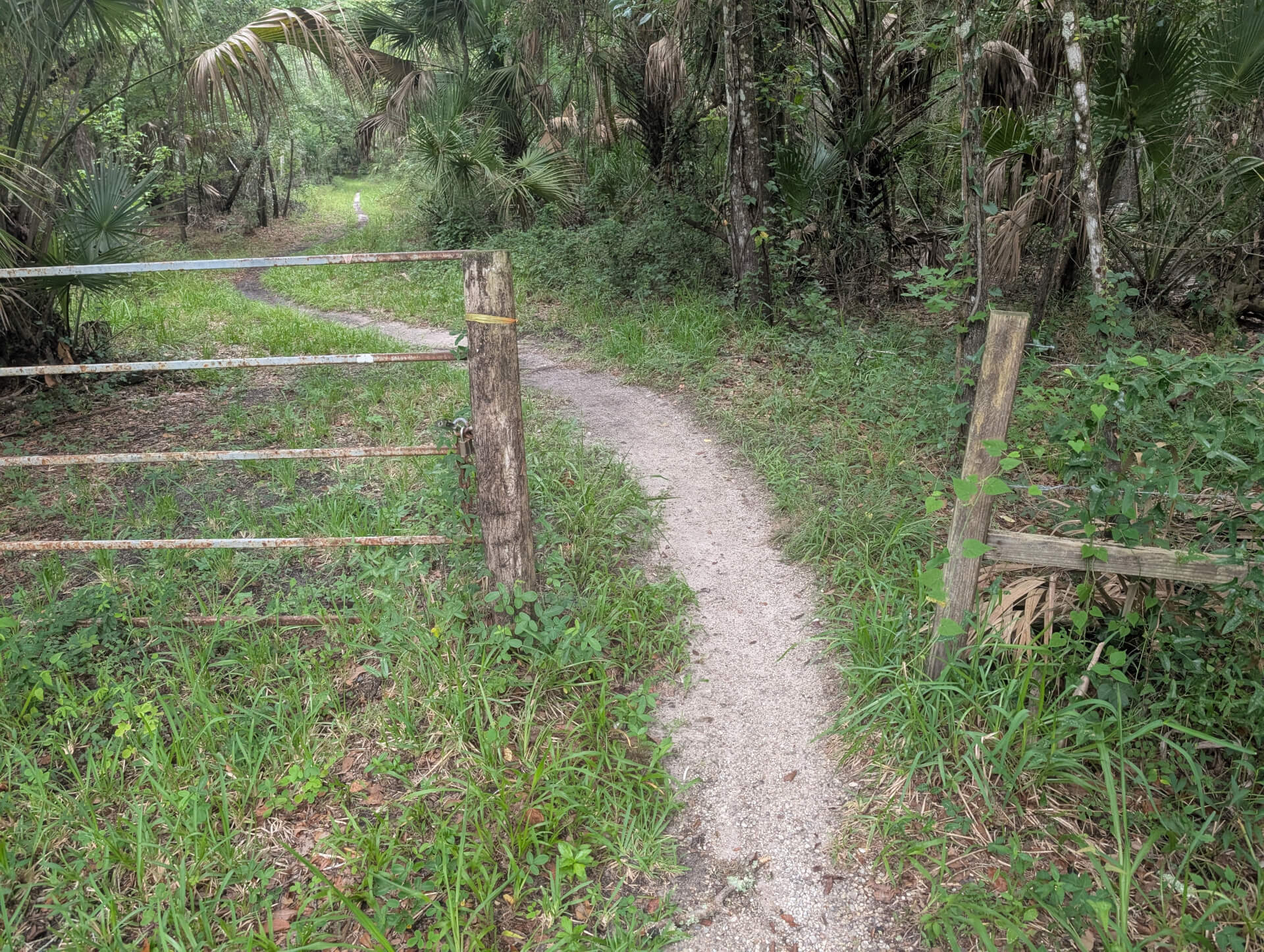
Google Maps & picture of the point.
At this point we saw a biker come out of this area and pass us going back the direction we came from. Based on the bike imprints on the trail, Alyson and I must have been one of the very rare people to actually walk this trail. We were happy to be back in the safety of a trail and off the road.
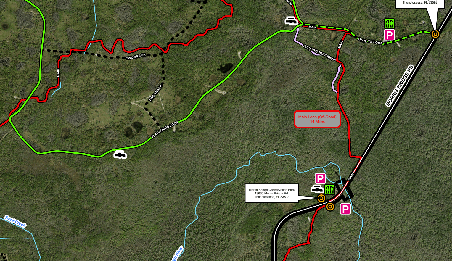
At this point we started getting creative with a shortcut. We knew we could slip off the Main Loop at Eubank Parkway, then take that onto the Flatwoods Loop to shave off a few miles. We did just that, but the entire shortcut on Flatwoods Loop was a paved road. We saw tons of bikes doing the 7 mile loop over and over, but not many walkers at all.
This was a cool park if we had a bike and seemed like an area many visited to put the serious miles on a bike without the danger of road biking. This was a 7 mile paved circle with no motorized equipment allowed. For a bunch of walkers on the edge I'm sure the bikers wondered what we were doing.
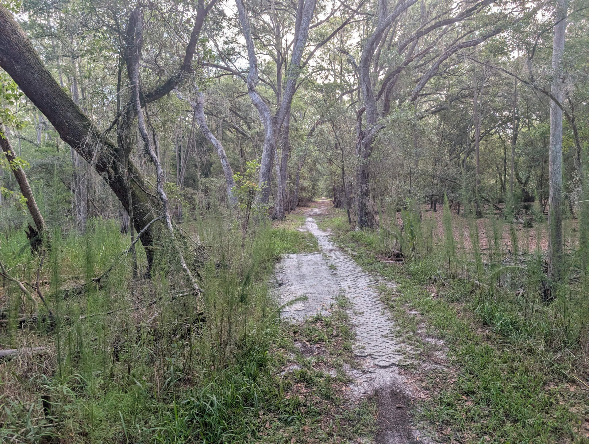
Thankfully the concrete ended and we were back to the wilderness with a bit more shade covering. Though we failed to take some pictures of a few interesting events prior to leaving the Flatwoods loop.
As we neared the end of the concrete we saw a pumping station that had a rough gray line on All Trails and I thought that was an unnamed trail/path. That is shown below as we were hoping to cross from blue dotted line -> white line -> grey line -> green line in a southern motion.
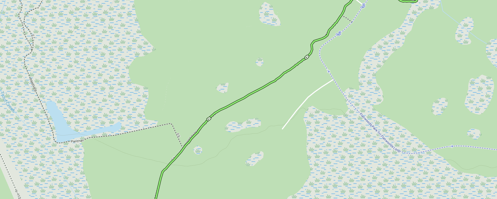
So we walked down this path to this pump station and followed some car tracks into the woods. Quickly the car path deteriorated to nothing easy to follow and we were just among boar ripped up ground probably a couple hundred feet away from our wilderness trail.
We then found a massive cage with some sort of feed in the bottom with the gate open. It was extremely weird and kinda creeped us out as it stood out in isolation with no surrounding establishment. Since we went down a maintenance path to a pumping station which said it was for staff only - it seemed like we didn't belong there nor the cage.
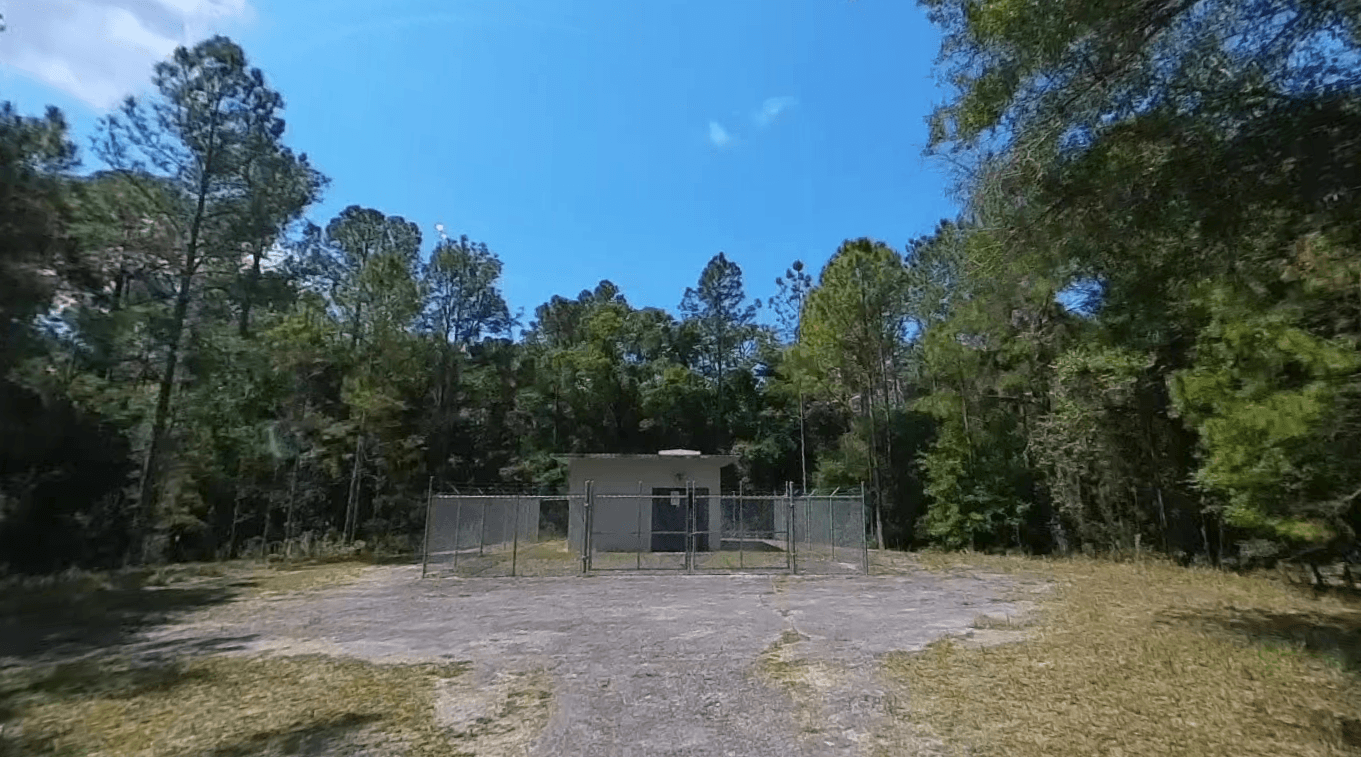
At that point our shortcut failed - we turned around and caught back up with the wilderness trail back to our car. This probably added a half mile of walking as we doubled back to hook up with trail.
Roughly around this point we clocked 10 miles walking and had a few left to go, but the sun was out and it was getting hot. Thankfully our ice heavy water was still cold, but our legs were starting to ache. We knew we were close though as we were alongside the I-75 highway walking on the trail parallel to it.
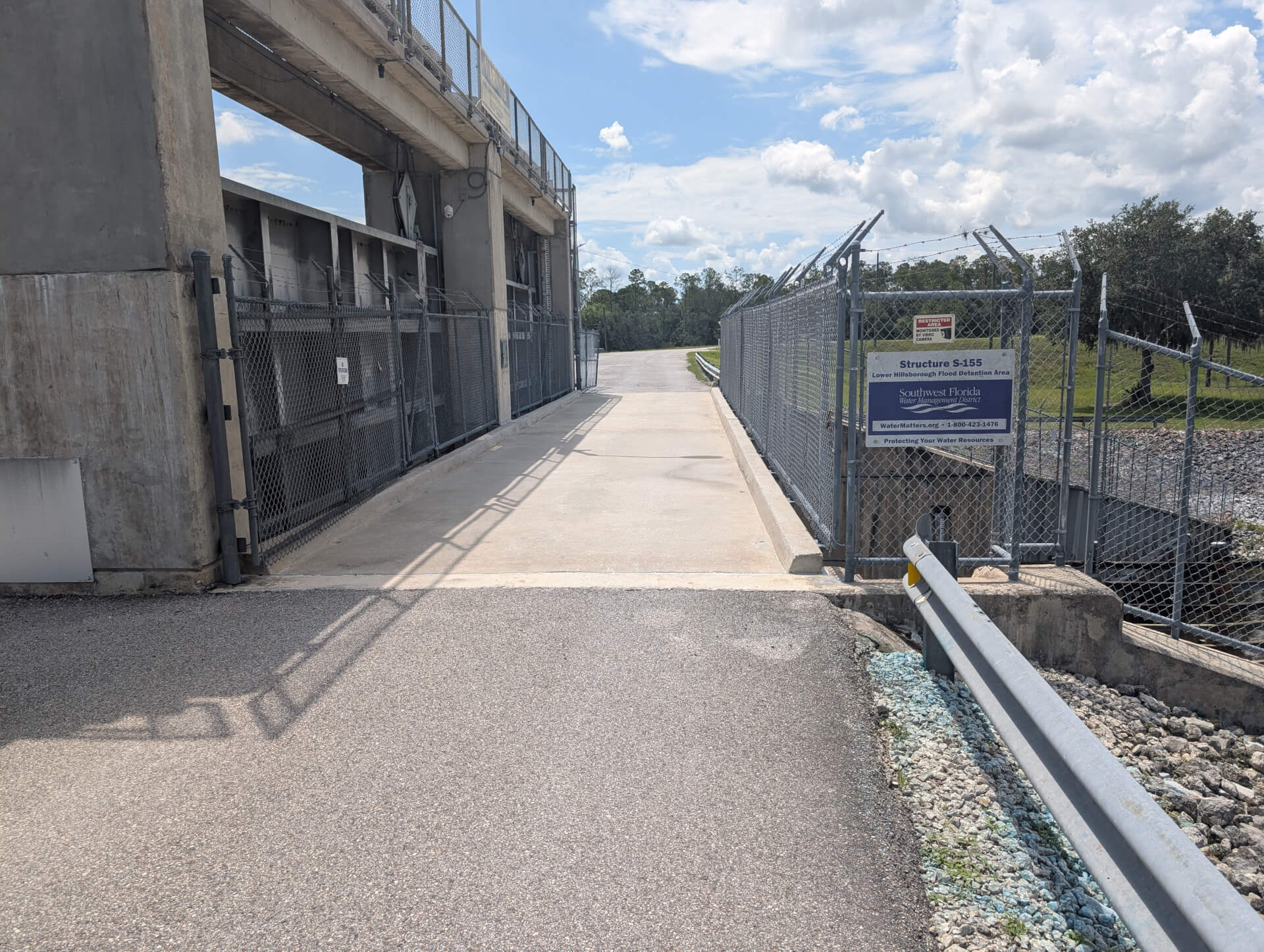
We randomly stumbled upon the trail that takes us through the S-155 structure, which I blogged about its neighbor the C-135 bypass canal recently. It was sweet to see this, but we were pushing 11 miles at this point and just focused to getting back to our car as the temperature and heat rose.
Roughly another mile and some change left and we ran across the road to our car clocking a total of 12.7 miles walked in ~5 hours on the Morris Bridge trail. Looking back it was probably crazy we did this in July during the hottest time of the year in Florida, but we got lucky with cloud coverage until the last fourth of the hike.
We broke some hike records on our respective Apple Watch & Garmin and had to do a nice cooling recovery walk the next day. We probably won't do that full loop ever again, but it was cool to do once.