C-135 Tampa Bypass Canal
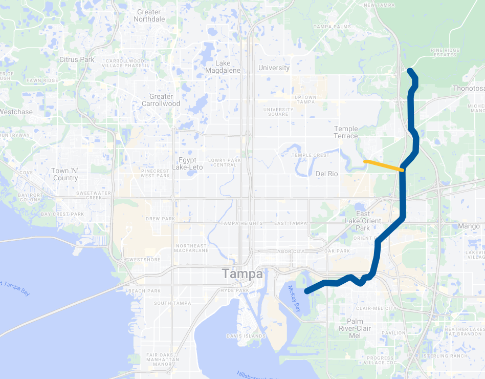
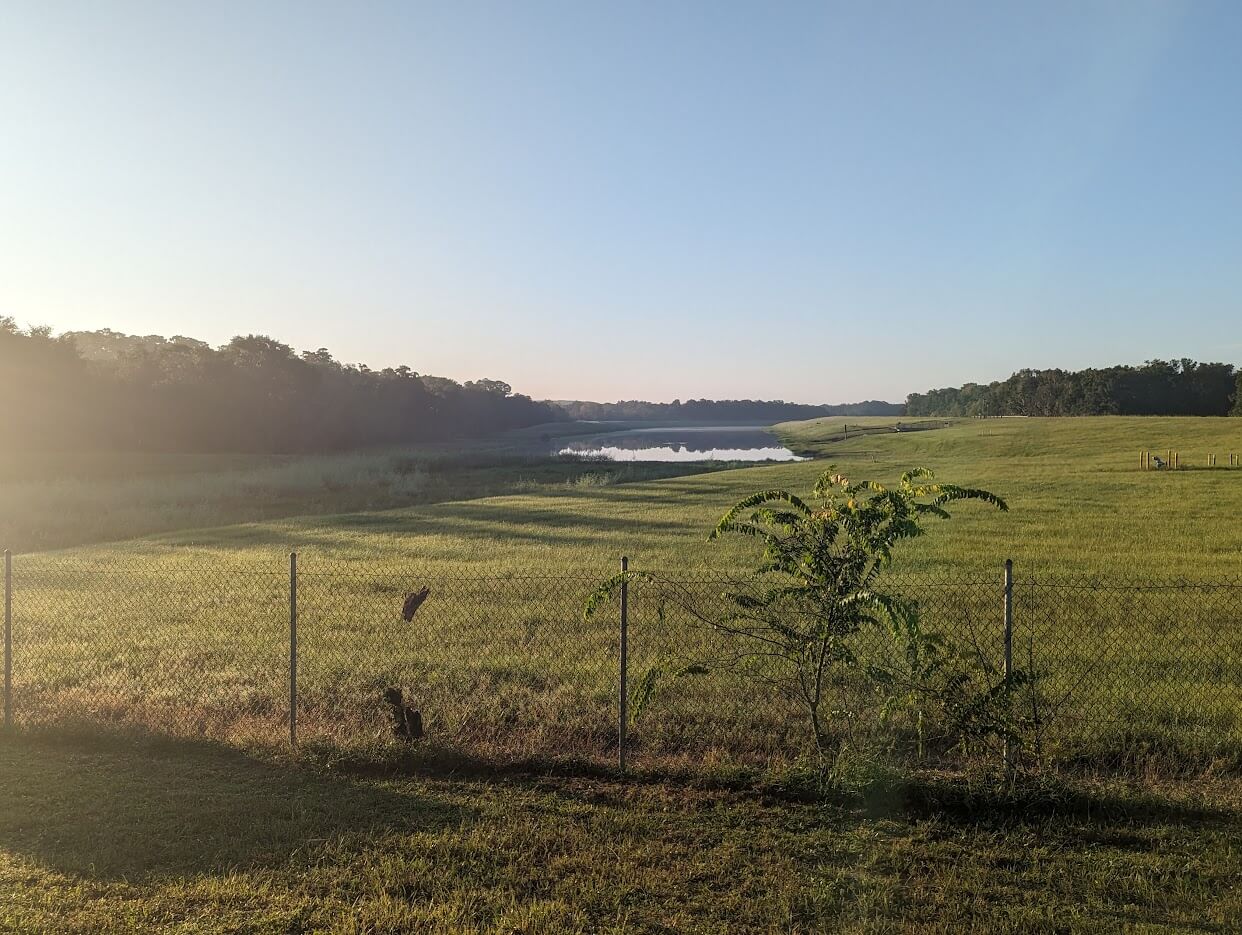
Driving around Temple Terrace every once awhile I pass this huge river and never see any boats on it. This turned out to be the C-135 Tampa Bypass Canal.
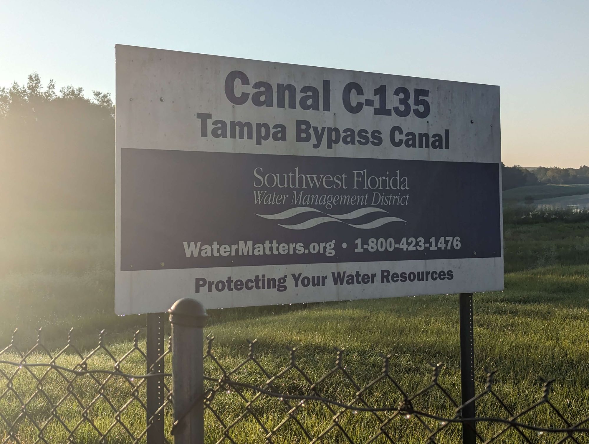
It starts, as the image shows, right where I drive by on the way to a park and it always looked a bit strange. Imagine driving over a large bridge and one side of the bridge has zero water and the other is a calm large river. I drove by it this weekend and stopped to get a photo of where the actual canal starts.
So then I got curious - why does this canal exist?
Turns out that isn't difficult to find at all with an official Southwest Florida Water Management District website explaining it briefly.
The Tampa Bypass Canal (TBC) is a 14-mile waterway that connects the Lower Hillsborough Wilderness Preserve with McKay Bay. The canal provides flood protection for the cities of Temple Terrace and Tampa by diverting floodwaters from the Hillsborough River. The canal is also a water supply source for the city of Tampa.
While that helps explain it - an annotated photo really helps break down how this works.
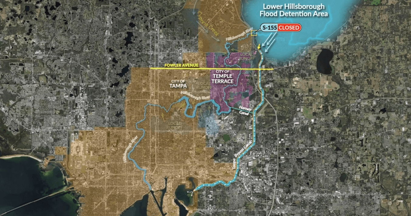
While flood areas collect water and normally kickoff the Hillsborough River in times of heavy flooding or hurricanes - a dam code-named S-155 can be closed. That'll block further water from entering the Hillsborough River.
This will further flood the detention area, but then overflow into the canal instead of the regular river. This C-135 Canal then is a straight shot all the way into the bay avoiding the populated urban towns.
However, if the water level or capacity is already in the Hillsborough River another a different canal was built called "Harney Canal".
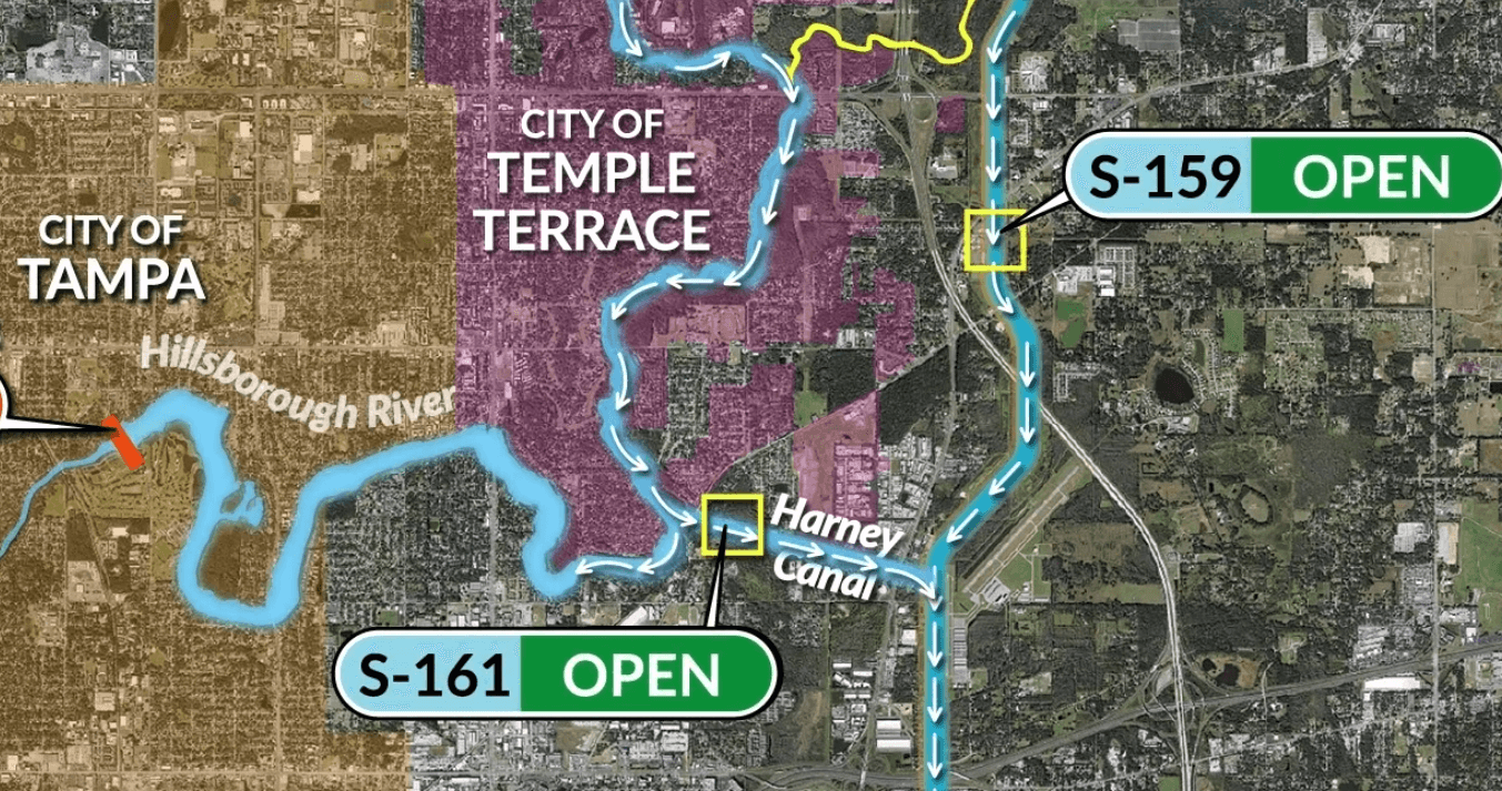
This can be used to divert the flood water away from the lower Hillsborough River which protects it from the urban downtown area. Just a little Y-split in the water to guide the rushing water into a less congested body of water.
So of course I wondered why this was built and if it was an after-thought or preparation for an event to come.
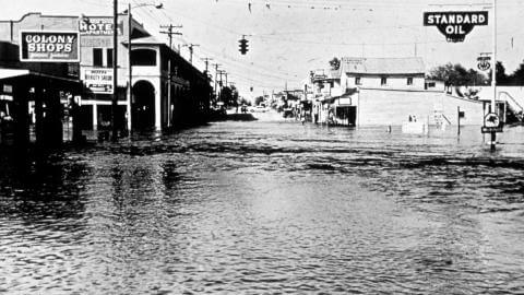
It was Hurricane Donna of 1960 that struck Florida causing massive floods around Tampa. The area knew it needed to do something to prevent another catastrophic flood from destroying the cities. The next year legislation created the Water Management District. A quick recap of the next 50~ years is below.
- 1964 - Headquarters opens up in Brooksville, FL
- 1964 - Starts purchasing land for canal
- 1966 - Canal construction begins
- 1975 - Canal water can be used for consumption
- 1979 - Flood mapping is complete
- 2005 - C.W. "Bill" Young Regional Reservoir built
- 2008 - Desalination Plant built
An interesting history of how we adapted from abusing too much water from the aquifer to leveraging reservoirs to finally just desalinating ocean water. This all while trying to protect against a river flood from destroying homes and businesses.
So now every time I drive by this canal I'll know its true purpose - to save Tampa's ass when the heavy rain or hurricane comes.
Too bad this is all gated - I would have like to walk up to the structures closer to the water for a closer investigation. I learned pretty quickly you don't want to go exploring around our water supplies.